Agisoft Metashape: Professional Edition – Complete Guide for Photogrammetry and 3D Reconstruction
Photogrammetry has become an important technology for creating accurate 3D models, digital maps, terrain data, and visual assets from ordinary photographs. Agisoft Metashape: Professional Edition is a powerful photogrammetry solution designed to process images and generate detailed spatial information for professional projects.
Whether you are working in surveying, mapping, architecture, archaeology, construction, or 3D visualization, Agisoft Metashape: Professional Edition provides a structured workflow for turning photographic data into useful 3D outputs. This guide explains the basic workflow, important features, use cases, advantages, limitations, and alternatives in a beginner-friendly way.
Step 1: Create a New Project
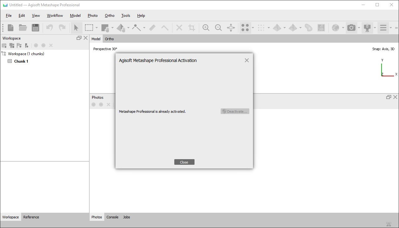
The first step when using Agisoft Metashape: Professional Edition is to create a new project. A project provides a workspace where photographs, processing settings, generated models, and other photogrammetry data can be organized.
Before beginning, it is helpful to determine what you want to create. Your goal could be a 3D model, orthomosaic, digital elevation model, point cloud, or another type of geospatial output.
A well-organized project makes the entire workflow easier to manage. For larger jobs, users should also consider how much computer memory, storage, and processing power will be required.
Step 2: Import Media / Setup
After creating a project, the next step is importing the photographs that will be used for reconstruction. Image quality and coverage have a major impact on the final result.
For successful photogrammetry, photographs should generally have sufficient overlap and consistent exposure. Images captured from different angles help the software identify common points between photographs.
Important preparation steps include:
- Organizing photographs before importing them
- Checking image quality and sharpness
- Maintaining sufficient overlap between images
- Removing unusable or severely blurred photographs
- Setting appropriate coordinate or camera information when available
Agisoft Metashape: Professional Edition can process large collections of images, making it suitable for both small experiments and professional photogrammetry projects.
Step 3: Main Workflow
The main workflow involves processing photographs to reconstruct the captured environment or object. The software analyzes images and identifies common visual features that appear across multiple photographs.
Image alignment is an important stage because it determines camera positions and creates the foundation for later processing. Once photographs are successfully aligned, users can continue toward dense reconstruction and other outputs.
Depending on the project, the workflow can include:
- Photo alignment
- Camera calibration
- Point cloud generation
- Dense reconstruction
- Mesh generation
- Texture creation
- Digital elevation model generation
- Orthomosaic creation
The exact processing sequence depends on the type of project. For example, a terrain-mapping project may prioritize elevation and orthomosaic data, while a cultural heritage project may focus more heavily on detailed textured 3D models.
Step 4: Add Features
One of the strengths of Agisoft Metashape: Professional Edition is its collection of tools for customizing and refining photogrammetry projects. Users can work with spatial reference information, markers, measurements, masks, and reconstruction parameters.
For professional mapping applications, georeferencing can be particularly important. Ground control points and coordinate information can help connect reconstructed data with real-world geographic locations.
Additional tools can be useful for:
- Measuring distances and areas
- Refining reconstruction regions
- Managing camera data
- Applying masks
- Working with coordinate reference systems
- Creating textured models
- Generating elevation products
- Improving project organization
These capabilities allow the workflow to be adapted to different professional requirements instead of relying on a single fixed processing method.
Step 5: Export / Save Output
After processing is complete, the final data can be saved or exported for use in other applications and workflows. The appropriate output depends on the project objective.
A 3D reconstruction may be exported as a model for visualization or further editing, while mapping projects may require orthomosaics, elevation data, or point clouds.
Before exporting, it is important to check the reconstruction for missing areas, alignment problems, unwanted geometry, and other processing issues. Reviewing the final result can prevent problems from appearing later in the production workflow.
For professional projects, maintaining organized project files and clearly naming exported datasets can also make future revisions much easier.
Best Use Cases for Agisoft Metashape: Professional Edition
Agisoft Metashape: Professional Edition is designed for a broad range of photogrammetry applications. Its combination of image processing, 3D reconstruction, measurement, and geospatial capabilities makes it useful across several industries.
Common use cases include:
- Surveying and mapping: Creating spatial datasets from aerial or ground photographs.
- Architecture and construction: Documenting buildings, structures, and construction sites.
- Archaeology: Digitizing archaeological sites and historical objects.
- Cultural heritage: Creating detailed 3D records of monuments and artifacts.
- Mining: Supporting site documentation and terrain analysis.
- Agriculture: Processing aerial imagery for field and terrain assessment.
- 3D visualization: Creating detailed models for visualization and documentation.
- Research and education: Studying photogrammetry and three-dimensional reconstruction techniques.
Advantages and Limitations
Advantages
Agisoft Metashape: Professional Edition offers several capabilities that make it suitable for professional photogrammetry workflows.
- Supports large image collections
- Provides comprehensive 3D reconstruction tools
- Supports geospatial and mapping workflows
- Offers multiple reconstruction and export options
- Provides measurement and analysis features
- Can be used for both aerial and ground-based photography
- Suitable for advanced professional projects
Its structured workflow also makes it possible for beginners to gradually learn advanced photogrammetry techniques.
Limitations
Despite its extensive functionality, professional photogrammetry software can have a learning curve. Users working with large datasets may also require a powerful computer with sufficient RAM, storage, and processing performance.
Other considerations include:
- Complex workflows may require training and practice
- Large projects can require significant processing time
- High-quality results depend heavily on source photography
- Poor image overlap can reduce reconstruction quality
- Advanced geospatial workflows may require additional technical knowledge
Understanding these limitations helps users prepare their projects more effectively.
Alternatives to Agisoft Metashape: Professional Edition
There are several other photogrammetry and 3D reconstruction applications available for users with different requirements. Some focus on surveying and mapping, while others are designed primarily for 3D modeling, visual effects, or specialized reconstruction workflows.
When considering an alternative, users should compare factors such as:
- Photogrammetry accuracy
- 3D reconstruction capabilities
- Mapping and geospatial support
- Processing performance
- Supported output formats
- Hardware requirements
- Workflow complexity
- Intended industry and application
The right choice depends on the type of imagery being processed and the final output required.
Frequently Asked Questions (FAQs)
What is Agisoft Metashape: Professional Edition?
Agisoft Metashape: Professional Edition is professional photogrammetry software used to process photographs into 3D models, point clouds, orthomosaics, elevation data, and other spatial outputs.
Is Agisoft Metashape: Professional Edition suitable for beginners?
Yes. Beginners can learn the basic workflow by starting with small image sets and gradually exploring advanced reconstruction, measurement, and geospatial features.
What type of images can be used?
The software can work with photographs captured from different platforms and camera systems. The quality, overlap, lighting, and consistency of the photographs significantly influence the final reconstruction.
Can it create 3D models?
Yes. Agisoft Metashape Professional A major application of Agisoft Metashape: Professional Edition is creating detailed 3D reconstructions from overlapping photographs.
Is powerful hardware required?
Hardware requirements depend on the size and complexity of the project. Larger image sets and high-resolution reconstruction tasks generally require more processing power and memory.
What industries use photogrammetry software?
Photogrammetry is used in surveying, mapping, construction, archaeology, mining, agriculture, cultural heritage, research, and 3D visualization.
Conclusion
Agisoft Metashape: Professional Edition provides a comprehensive workflow for transforming photographs into detailed 3D and geospatial information. From importing images and aligning cameras to generating point clouds, meshes, textures, orthomosaics, and elevation data, it brings many essential photogrammetry tasks into one professional environment.
For beginners, the best approach is to start with a small, well-photographed project and learn each processing stage gradually. For experienced users, its broader reconstruction and geospatial capabilities can support more complex professional workflows. With suitable imagery, careful project preparation, and appropriate processing settings, Agisoft Metashape: Professional Edition can be a valuable tool for modern photogrammetry and 3D reconstruction.
Download Agisoft Metashape 2027
Telegram ID
eMail
Request for One Day Pro Demo For Free Pro Demo Download